Spatial Sensing

From consulting and strategy development to implementation and support, our comprehensive services can help your business thrive.

Mapping and Modeling

High-resolution aerial and terrestrial data capture for precise maps, 2D orthomosaics, and 3D models. We deliver accurate, geo-referenced visuals that support planning, measurement, and analysis across industries—from construction to environmental monitoring.

Thermal Imagery

Advanced aerial thermal imaging to detect heat loss, moisture intrusion, electrical issues, and more. Our drone-based thermal inspections provide fast, safe, and actionable insights for industries like construction, utilities, and facility management.

Nighttime Operations

Specialized thermal imaging flights using FLIR technology to capture critical data in low-light or no-light conditions. Ideal for search and rescue, security monitoring, wildlife tracking, and nighttime infrastructure inspections where visibility is limited but precision is essential.

Project Planning

Comprehensive aerial surveys and spatial data collection to support the planning and execution of your projects. From initial site assessments to progress monitoring, we provide detailed imagery and data insights that help you make informed decisions and stay on track from start to finish.

Inspections

Streamlined aerial inspections that provide high-resolution imagery and precise data for a range of applications—from roof assessments and power lines to pipelines and construction sites. Our drone technology enhances safety, reduces risk, and delivers actionable insights quickly and efficiently.

man in black and yellow jacket wearing red helmet holding black and white stick
two men carrying a metal sheet
seven construction workers standing on white field
Consultation

Expert guidance to help you leverage aerial and spatial data for your specific needs. From selecting the right drone technology to optimizing workflows, our team provides tailored advice and strategic insights to ensure the success of your project from the ground up.

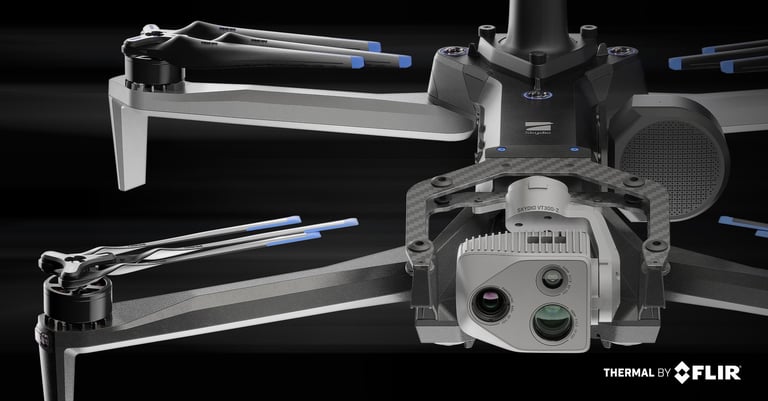
We prioritize data security, reliability, and compliance. That’s why we operate NDAA-approved drones—built without banned foreign components and in full compliance with U.S. defense standards.

What it means for you:

  • Secure Data – No risk of unauthorized access or foreign data leaks.

  • Project Compliance – Approved for use in federal, state, and private-sector work.

  • Trusted Performance – Reliable, vetted hardware for mission-critical tasks.

Choosing NDAA-compliant drones means choosing safety, trust, and future-ready operations.